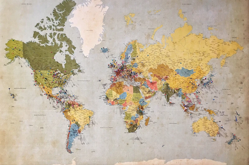
GIS & Remote Sensing
Beginner
Browse by Subject
Geographic Information Systems and Remote Sensing
42 coursesLand surveying and geodetic science
28 coursesMap making and cartographic design
19 coursesAdvanced spatial data analysis techniques
35 coursesData science with geospatial context
24 coursesProgramming for geospatial applications
31 coursesTop Rated

Who We Are
Geosphere Learning is the digital education platform of CV Geosphere Innovation Technology — a company founded by geospatial scientists and engineers committed to advancing spatial knowledge in Indonesia and beyond.
Our curriculum is built from real industry experience. Every course reflects current best practices in GIS, remote sensing, geodesy, and spatial analytics, taught by practitioners who work with this technology every day.
We combine theoretical foundations with hands-on application using real geospatial datasets from across Indonesia.
Why Choose Us
We're not just another online learning platform. We're a specialized geospatial learning community built for professionals.
Every course is reviewed and verified by practicing geospatial professionals with real-world experience.
Earn certificates recognized by leading geospatial organizations and government agencies across Indonesia.
Self-paced learning with lifetime access. Progress through courses on your schedule, anywhere.
Build a portfolio of real geospatial projects from day one with hands-on assignments and datasets.
Connect with instructors and peers in our community of geospatial professionals.
Structured learning paths designed to take you from beginner to job-ready professional.
Our Faculty
Our instructors are active geospatial professionals, researchers, and academics with proven track records in the industry.
GIS Specialist & Senior Researcher
Remote Sensing, Land Cover Analysis
Geodesy & Cartography Expert
Geodetic Survey, Map Design
Geospatial Data Scientist
Python, Spatial Analysis, ML
Student Stories
“Geosphere Learning completely transformed my career. The GIS courses here are more practical and in-depth than anything I found elsewhere. I landed my dream job within 3 months of completing the program.”
“The spatial analysis courses gave me the technical foundation I needed to work with real city data. The instructors are genuine experts and the community is incredibly supportive.”
“I completed the Remote Sensing certification in 6 weeks while working full time. The structured curriculum and practical datasets made all the difference. Highly recommended.”